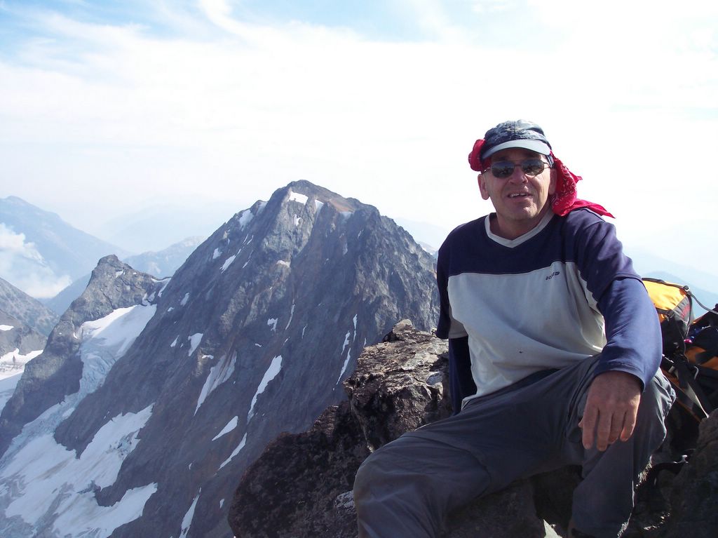
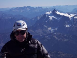
We survived the summit attempt nearly unscathed. Crushed/cut fingers, bruises, scratches, back & PFL strains were overcome without complaint.
Survival was indeed the theme for this adventure - surviving the gnarly, root-grabbing, hands & knees approach to Lake Constance, establishing base camp while assaulted with hail and rain showers, testing our knowledge by administering a survival IQ test (our outdoors skills are "dialed" but we need help driving), hopping between truck-sized boulders while maintaining our balance amongst acres of rock, and dodging more granite than I care to document while ascending talus fields which comprise the South Chute.
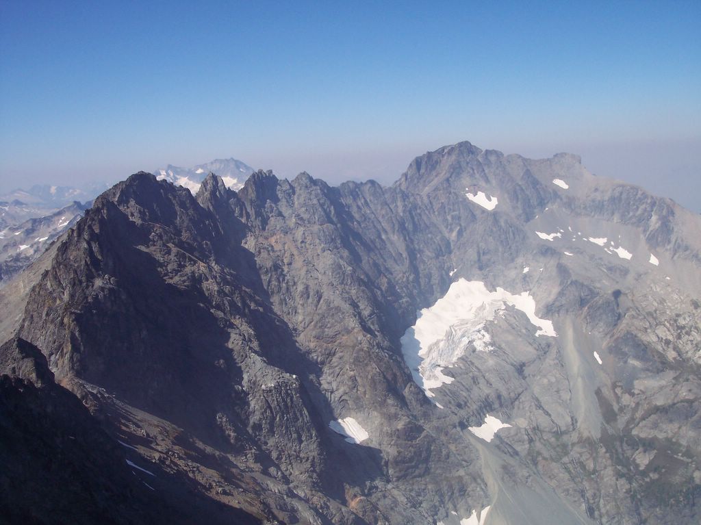
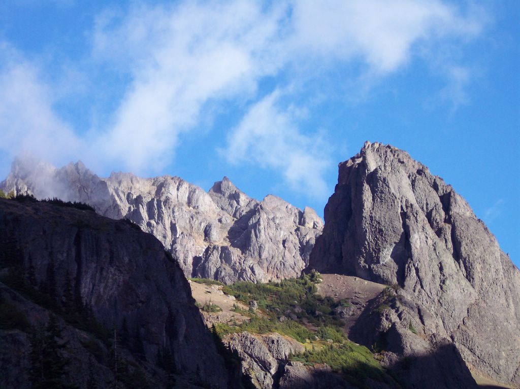
The scenery was awesome and wild. As you will see in the pictures below, Avalanche Canyon is truly a special place, as are the South Chute of Mt. Constance, and Lake Constance below. Alpine wilderness such as this can be fully experienced by those willing to endure and appreciate the tests and trials of stamina, while appreciating small triumphs of accomplishment, and the grandness of their surroundings.
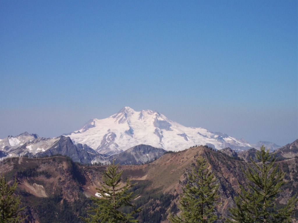
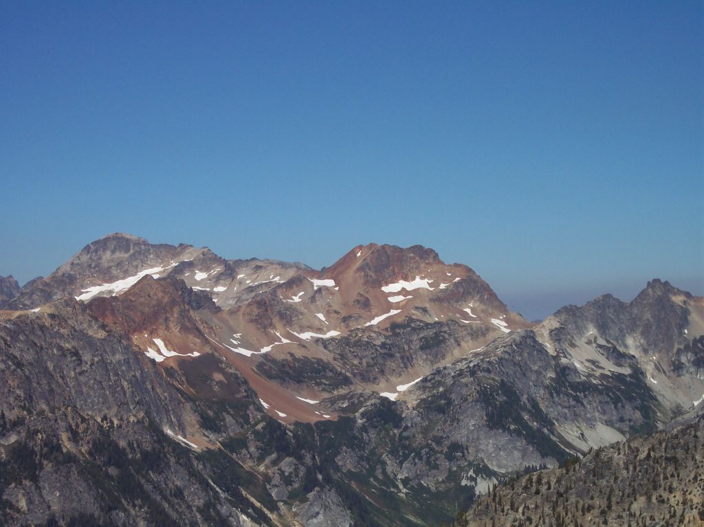
The trip pictures below capture a few of the scenic features mentioned above.
Note on picture size: Click on picture for a LARGER view.
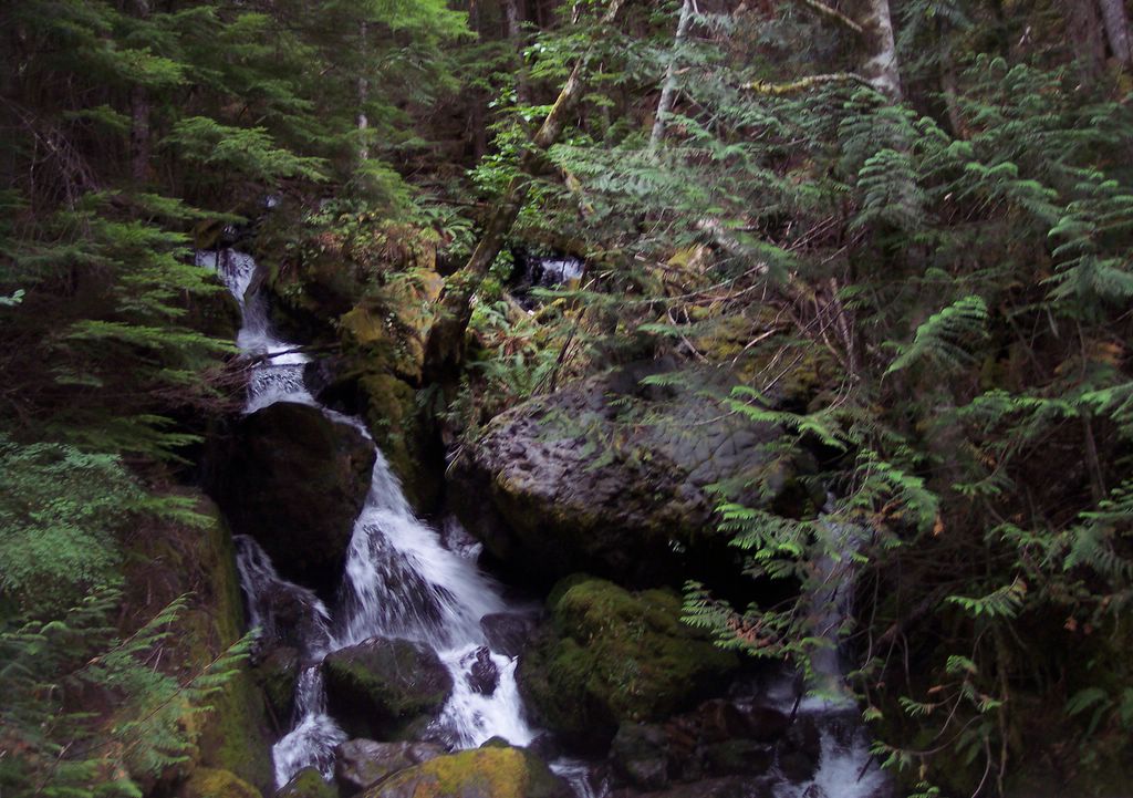
Trailside Waterfall

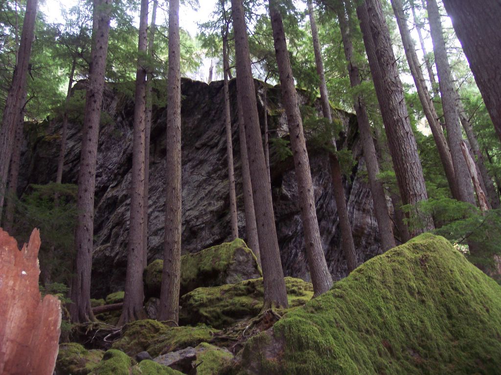
Trail To Constance Lake

Trailside View
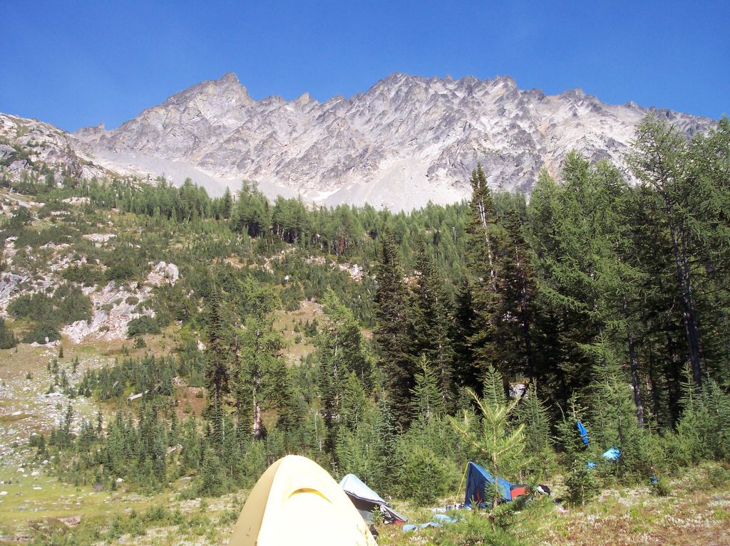
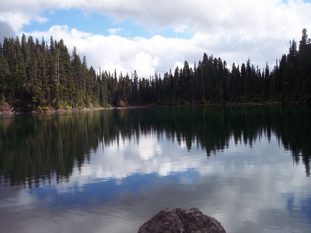
Lake Constance

Lake Constance
View From Lake
Gnarly Rock In Canyon
Trekking Through Avalanche Canyon
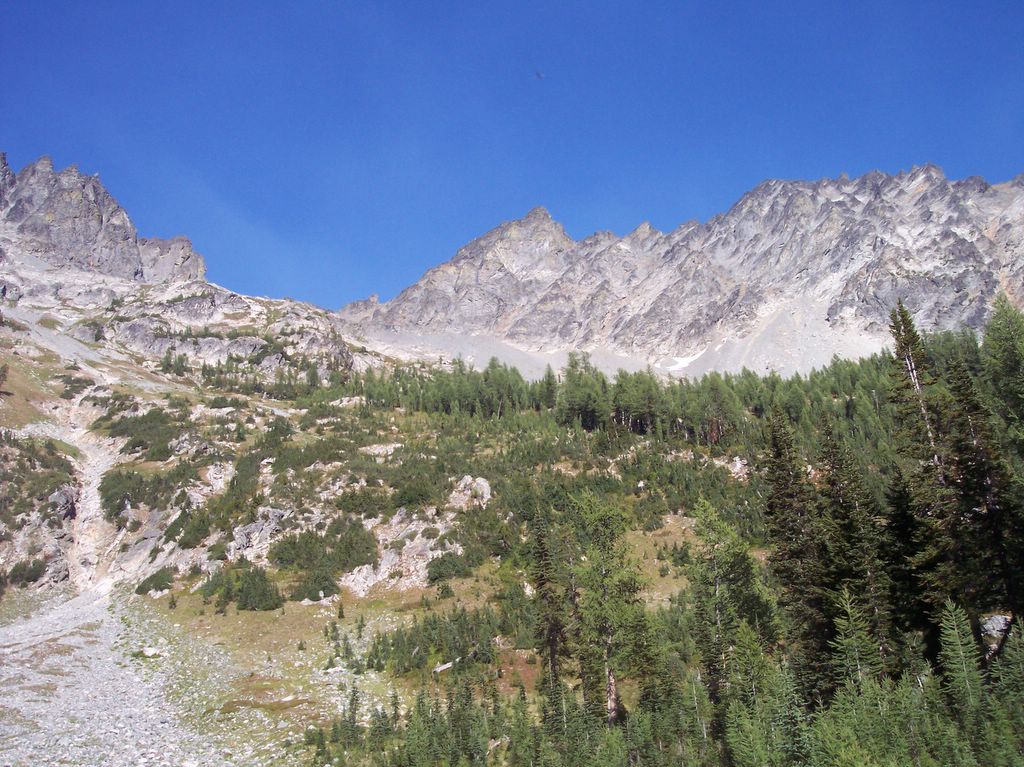
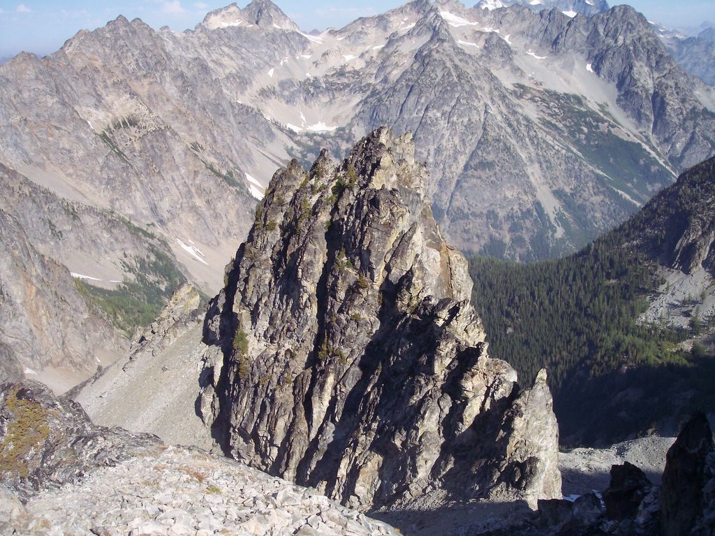
Avalanche Canyon & Crystal Pass

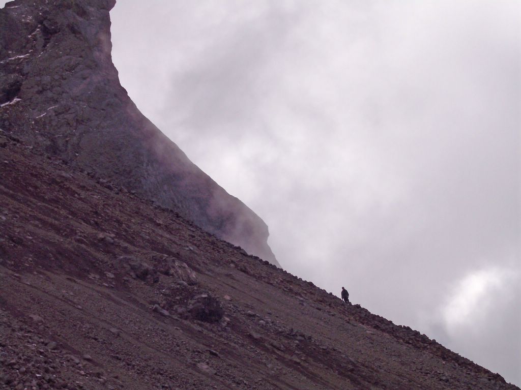
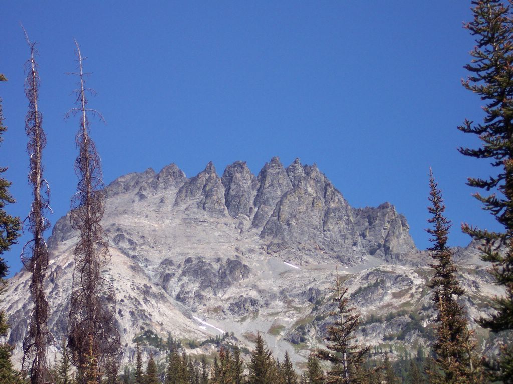
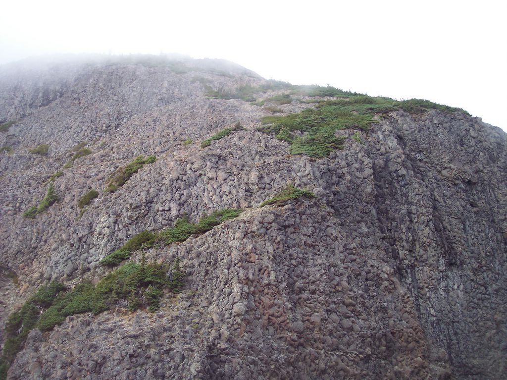
South Chute

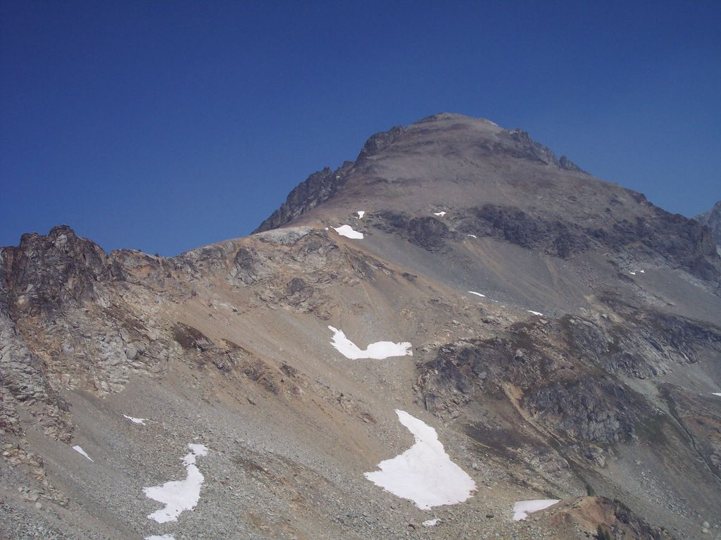
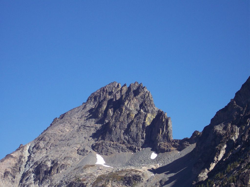
South Chute Closeup

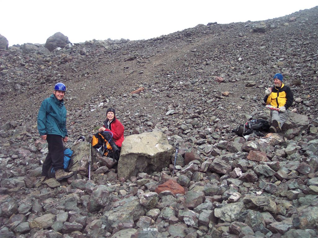
Climbing the Chute