Sunday, February 11, 2007

Blue Mountain 2/10/2007

On Saturday, along with ten other hardy souls, I climbed Blue Mountain in Olympic National Park. Starting at the Slab Camp trailhead, we all summited Blue Mountain after 3000 feet of elevation gain.

Views were as breathtaking as the sky was clear. Please see the pictures below which I took on or near the summit.

Blue Mountain

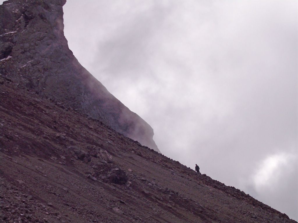
View From Summit of Olympic Interior

Paul on Summit (Mount Baker in Background)

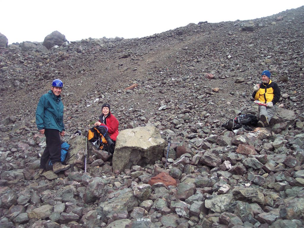
Vivien and Jim on Summit

Posted by Picasa

Friday, February 02, 2007

Steeple Rock 2/3/2007

Friday was a good day to climb Steeple Rock, near Hurricane Ridge in the Olympic National Park. Pictures below were taken along the route as Ron J and I snowshoed to the Rock, first dropping down to the snow covered Obstruction Point Road, then hiking to the base of the rock to begin a steep ascent.

We ascended the Rock's south side to a ridge, then crossed over to the North side and began climbing up a snow-covered gully leading to the Rock's summit.

Obstruction Point Road With Steeple Rock in Background.

Here I am preparing to climb the Rock.

Steeple Rock Against The Blue Sky

Steeple Rock Summit

Snow Pinnacle Near the Rock


View From Steeple Rock

Trip Note: Snowshoe cleats bit into the hard, consolidated snow, providing good traction. Due to the somewhat icy conditions, snowshoes or crampons were definitely necessary. Climbing up the gully to the summit required an iceaxe; going without one would be foolhardy.

Friday, October 06, 2006

Mt St Helens (10/06/2006)

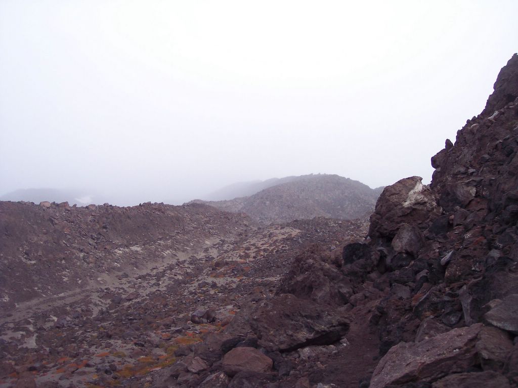
Today, with climbing permits in hand, Dave and I ventured into the barren, magma strewn wasteland, otherwise known as Mt St Helens National Park, to climb Monitor Ridge to Mount St Helens' summit. Our goals were to reach the summit and peer down into the crater below. Well, we reached, and we peered, but there wasn't much to see this time around.

Check the pictures out below.

Note on picture size: Click on picture for a LARGER view.

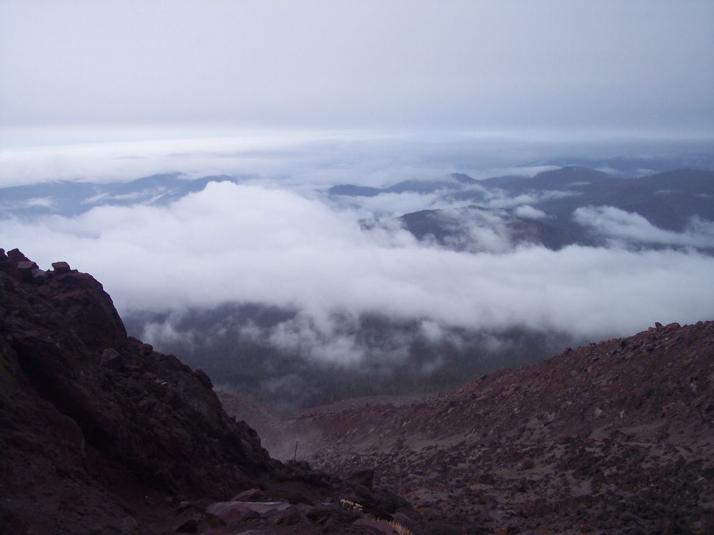
Due to low visibility and the harsh weather conditions, not many pictures were taken on this trip. Early in the hike, luckily, I snapped two pictures off just as we punched through the first layer of clouds; one picture is of Monitor ridge and one is of the valley below. Visibility was about to change drastically after these shots were taken.

Monitor Ridge on Mt St Helens Posted by Picasa


Above the Clouds View From Mt St Helens Posted by Picasa


At 7000 ft elevation all hell broke loose, winds gusted at 45-50 mph, rain, mist and bone-chilling cold forced Dave and I to don all of our contigency foul weather clothing. Smirking at Mother Nature's attempt to turn us back, we continued on, gaining another 1500 feet to reach the summit and view the spetacular crater lip (literally just the lip).

In the following summit pics, Dave and I were standing about 15 feet apart, taking turns with the camera.

Paul Looking Into Crater On Mt St Helens' Summit Posted by Picasa


Dave Standing on Crater Lip at Summit Posted by Picasa


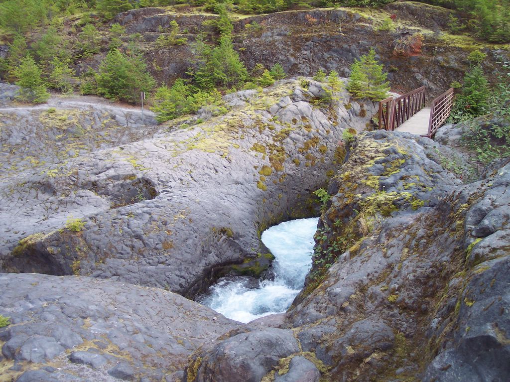
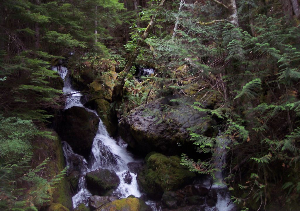
The day before this climb, we hiked through Lava Canyon and ventured into the lava tube known as "Ape Cave". Here are some clear pictures of Lava Canyon.

Lava Canyon Near Mt St Helens Posted by Picasa


Lava Canyon Near Mt St Helens Posted by Picasa

Sunday, September 17, 2006

Mount Constance 9/15-9/17/2006

Our team of five hiked to Lake Constance along one of the steepest trails in Washington's Olympic National Park (ONP). We base camped near the lake then, the following morning, attempted to summit Mount Constance via the South Chute in Avalanche Canyon. This three day backpacking trip resulted in a complex mixture of joy, awe, misery, triumph, astonishment, and accomplishment - all necessary ingredients for a truly memorable adventure.

We survived the summit attempt nearly unscathed. Crushed/cut fingers, bruises, scratches, back & PFL strains were overcome without complaint.

Survival was indeed the theme for this adventure - surviving the gnarly, root-grabbing, hands & knees approach to Lake Constance, establishing base camp while assaulted with hail and rain showers, testing our knowledge by administering a survival IQ test (our outdoors skills are "dialed" but we need help driving), hopping between truck-sized boulders while maintaining our balance amongst acres of rock, and dodging more granite than I care to document while ascending talus fields which comprise the South Chute.

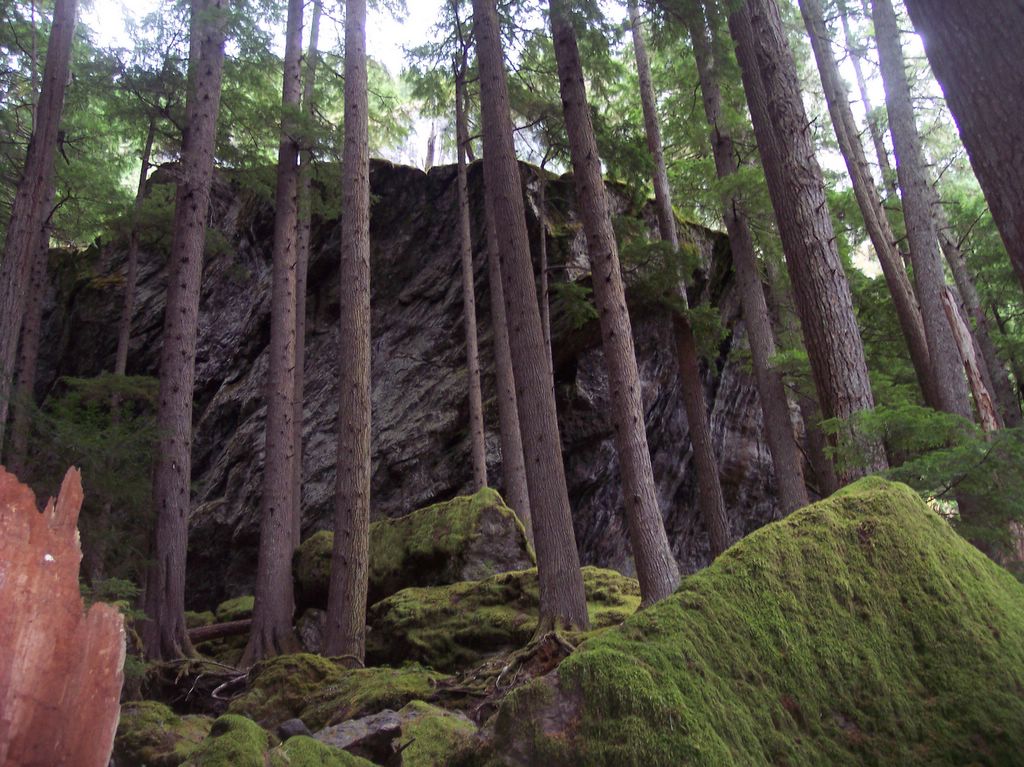
The scenery was awesome and wild. As you will see in the pictures below, Avalanche Canyon is truly a special place, as are the South Chute of Mt. Constance, and Lake Constance below. Alpine wilderness such as this can be fully experienced by those willing to endure and appreciate the tests and trials of stamina, while appreciating small triumphs of accomplishment, and the grandness of their surroundings.

The trip pictures below capture a few of the scenic features mentioned above.

Note on picture size: Click on picture for a LARGER view.

Trailside Waterfall Posted by Picasa


Trail To Constance Lake Posted by Picasa


Trailside View Posted by Picasa


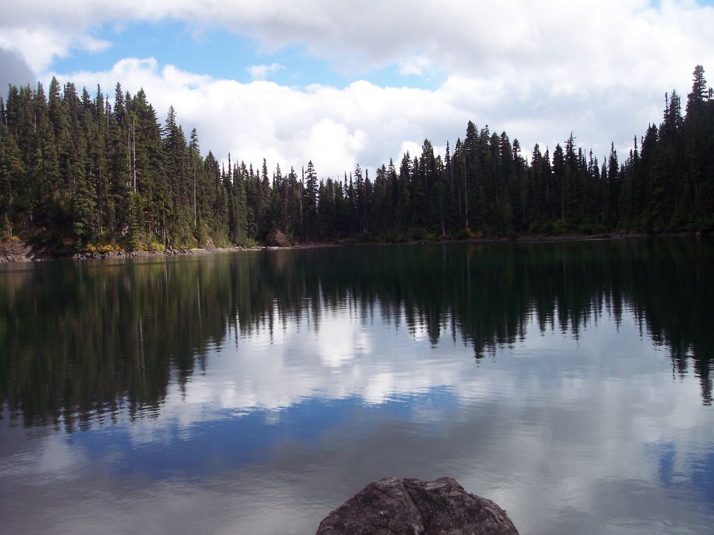
Lake Constance Posted by Picasa


Lake Constance Posted by Picasa


View From Lake Posted by Picasa


Gnarly Rock In Canyon Posted by Picasa


Trekking Through Avalanche Canyon Posted by Picasa


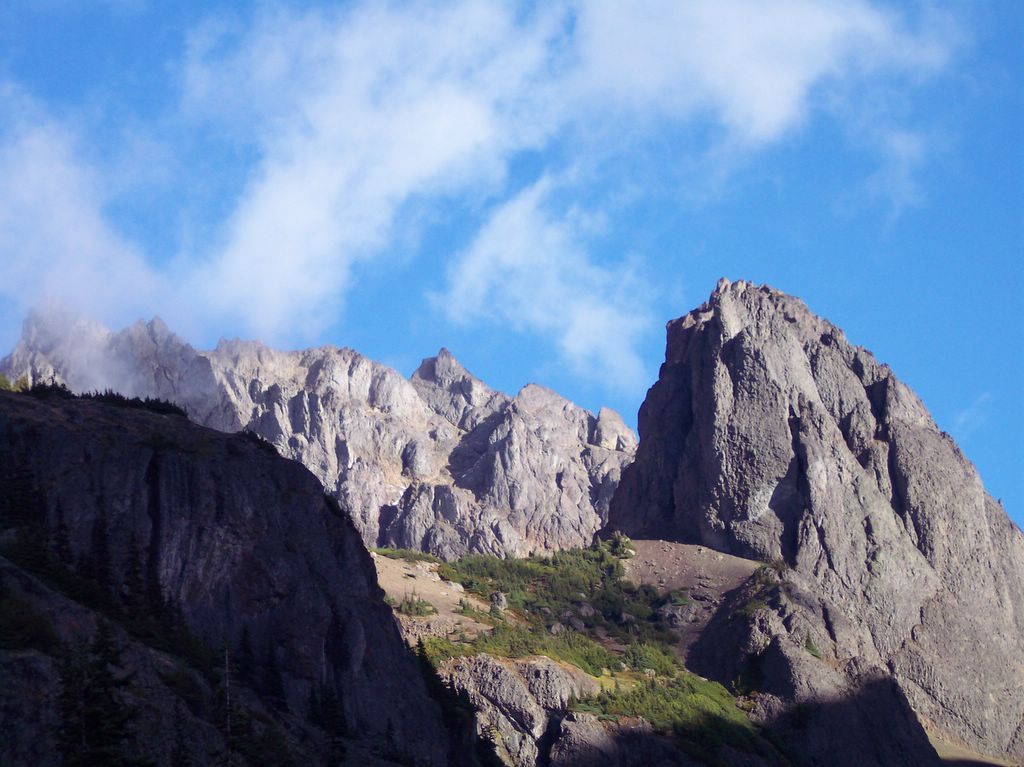
Avalanche Canyon & Crystal Pass Posted by Picasa


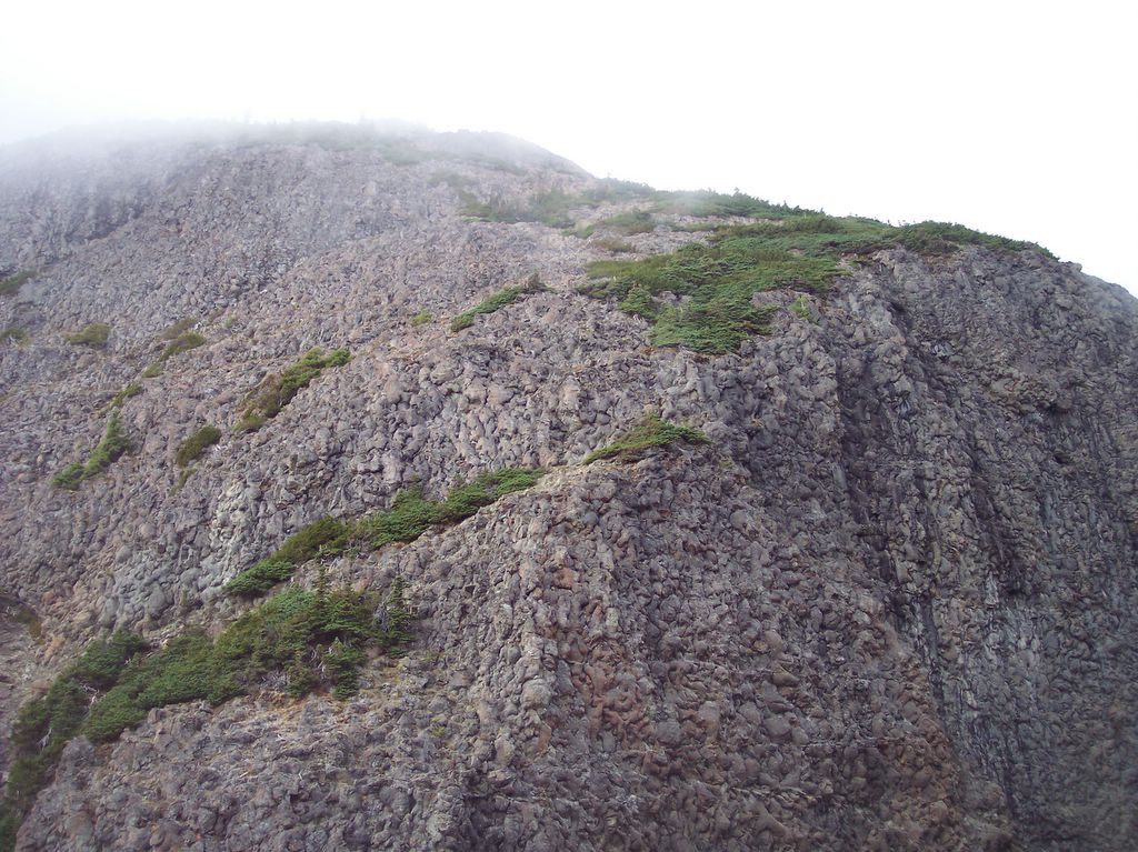
South Chute Posted by Picasa


South Chute Closeup Posted by Picasa


Climbing the Chute Posted by Picasa