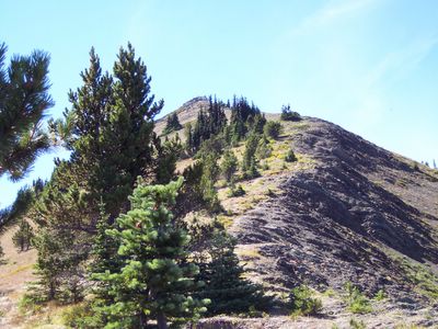
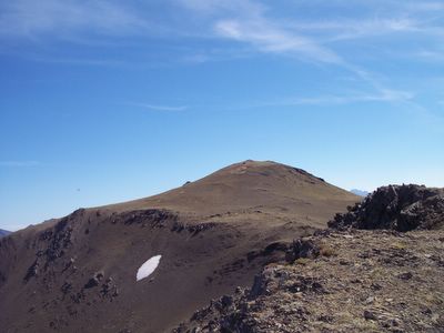
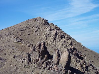
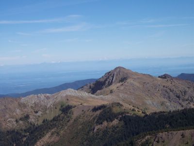
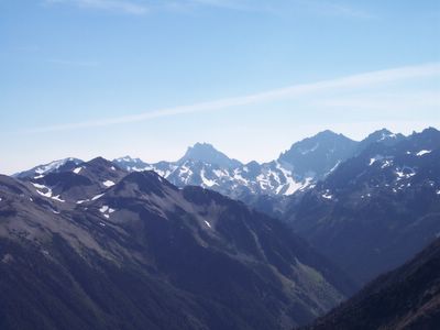
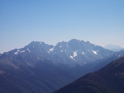
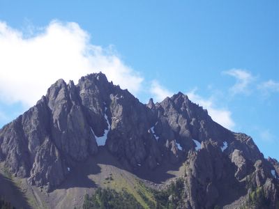
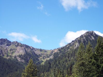
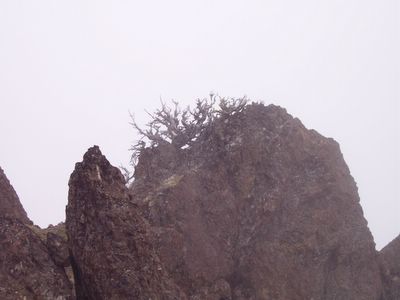
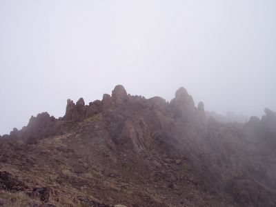
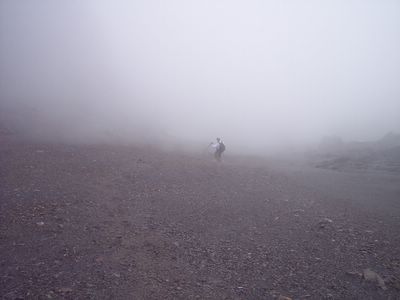
RJ and I took this middle-of-the-week day off for a hike along the Big Quilcene trail in Olympic National Forrest/Park, climbing Marmot Pass, then Mount Buckhorn, and scree skiing back down to the main trail.
The environment changed drastically, as the hike began under clear blue skies which remained as we reached Marmot Pass, afterwards changing to a fog enveloped, ethereal ridge and mountain climb.
Scree skiing from Mt Buckhorn back down to the trail was definitely a trip highlight, as we lost 1500 ft elevation on a 3/4 mile scree ski run.
Note on picture size: Click on picture for a LARGER view.
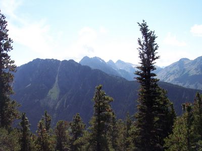
Trailside View of Forest
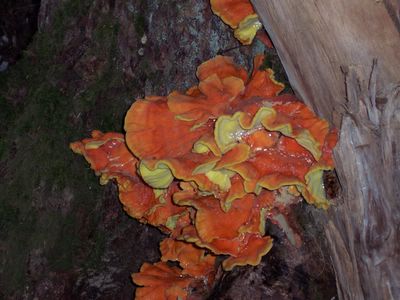
Mushroom Closeup
Nearby Peaks
Marmot Pass Wildflowers
Marmot Pass
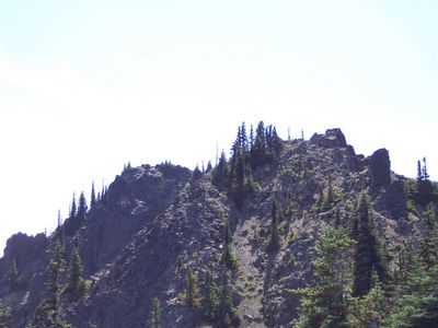
Looking Up Toward Buckhorn Ridge
Tortured Buckhorn Ridge Tree
Ethereal Buckhorn Ridge
Scree Skiing Down From Mt Buckhorn
Wednesday, August 23, 2006
Sunday, August 20, 2006
Mount Baldy (8/20/2006)
Sunday I solo hiked from the Upper Dungeness trailhead to the summit of Mount Baldy (Olympic Natl Forest), bagging 4 additional peaks on the Gray Wolf Ridge.
Baldy is a worthy peak, claiming a 4100 foot elevation gain to reach its nearly 6800' high summit. Royal Creek is really where the climbing began.
Royal Creek
Continuing on, I ascended the Maynard Burn trail to a waytrail which led to the Gray Wolf Ridge. Once on the Ridge I began bagging peaks, including Baldy (the highest).
Gray Wolf Ridge Ascent
Gray Wolf Ridge Ascent (Closeup)
Mount Baldy
Mount Baldy Summit
Probably the most interesting peak was just northwest of Baldy - it had these tantalizing boulders poking upward - yes I climbed the tall one at the bottom of the pic below.
Peak NW of Baldy
While standing on Baldy, I absorbed spectacular scenery in every direction. The pictures below show some of the dramatically contrasting landscapes viewed from Baldy's summit.
View East of Baldy
Dungeness Valley
Mt Deception (Middle Background)
Mount Constance
I'm definitely going to repeat this climb again soon - although strenuous, it is one of the most satisfying climbs in the West Puget Sound.
Drawn as I am to Gray Wolf Ridge, I intend to revisit there soon, head east, then bag Mt Tyler and a few of its surrounding peaks.
Baldy is a worthy peak, claiming a 4100 foot elevation gain to reach its nearly 6800' high summit. Royal Creek is really where the climbing began.
Royal Creek
Continuing on, I ascended the Maynard Burn trail to a waytrail which led to the Gray Wolf Ridge. Once on the Ridge I began bagging peaks, including Baldy (the highest).
Gray Wolf Ridge Ascent
Gray Wolf Ridge Ascent (Closeup)
Mount Baldy
Mount Baldy Summit
Probably the most interesting peak was just northwest of Baldy - it had these tantalizing boulders poking upward - yes I climbed the tall one at the bottom of the pic below.
Peak NW of Baldy
While standing on Baldy, I absorbed spectacular scenery in every direction. The pictures below show some of the dramatically contrasting landscapes viewed from Baldy's summit.
View East of Baldy
Dungeness Valley
Mt Deception (Middle Background)
Mount Constance
I'm definitely going to repeat this climb again soon - although strenuous, it is one of the most satisfying climbs in the West Puget Sound.
Drawn as I am to Gray Wolf Ridge, I intend to revisit there soon, head east, then bag Mt Tyler and a few of its surrounding peaks.
Wednesday, August 16, 2006
Welch Peaks (8/16/2006)
Took the day off Wednesday to bag Welch Peak and Mount Townsend (Olympic Nat'l Forrest), starting from the Little Quilcene trailhead.
The pictures below tell the story of this rewarding hike. For the record, this was the first time I had a view from these peaks, normally the visibilty has been less than than about 20 feet.
The Little Quilcene trail provided a nice summer route up Mt Townsend since, for most of the trail's length, there was this fantastic view of the adjacent ridge.
Adjacent Ridge
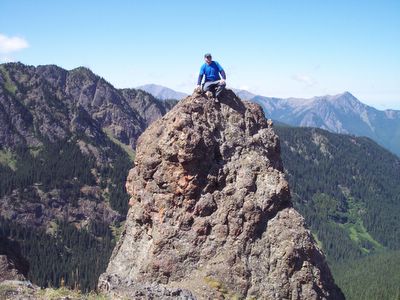
On the ridge between Townsend and Welch Pk, there was this irresistable boulder jutting up - it had to be climbed.
Paul on Boulder on Welch Pk Ridge
The Welch Peaks are actually much nore interesting than Mt Townsend.
Welch Peaks
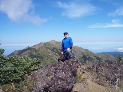
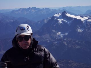
And, of course, that's me standing on the summit of Welch Peak.
Welch Peak Summit (Mt Townsend in Background)
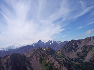
My favorite picture - clouds spraying out of the distant Mount Constance.
Cloudburst Surrounds Mt Constance
I just had to include this closup pic of Constance as seen from Welch Peak.
Mt Constance Closeup View
Click here for the March 2005 welch Peak Trip Report.
Subscribe to:
Posts (Atom)