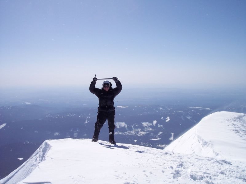
Approaching Mount Hood from the South Side (Palmer Glacier/ snow field), we established a high camp at 9000 feet on Saturday afternoon, commenced climbing Sunday morning at 0630, and gained the summit (at different times) between 0930 and 1030.
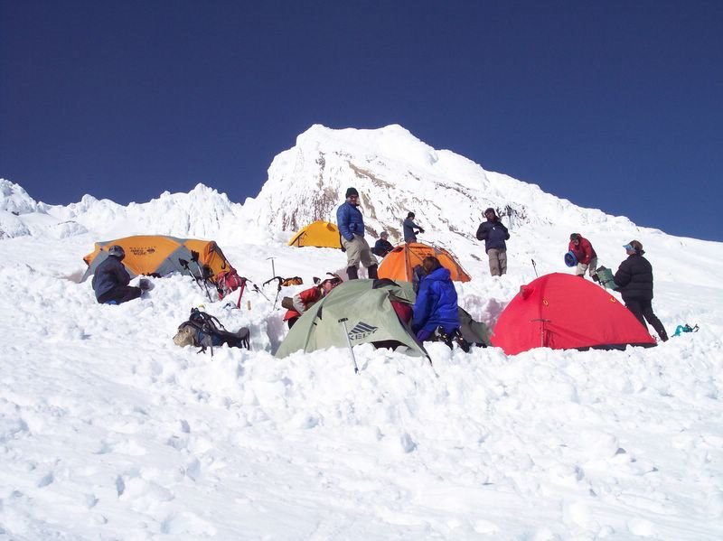
Establishing high camp was no trivial pursuit. After a long climb from trailhead, armed with saws, shovels, and ice axes, we began chopping a series of ledges out of stubborn ice and snow of the steeply sloping Palmer Glacier for use as tent platforms. Although this was hard work, especially since it proceeded an arduous trudge (the approach), I welcomed the product of this effort - an area to shelter us from the high winds that thrashed us relentlessly.
Erecting our sturdy 4-season tents was also challenging. Extra diligence in guying out the tent stakes, deadman style, paid off - none of our tents blew away during a night that treated us to a form of wind-on-tent fabric noise that closely approximated a Boeing 747 on take-off.
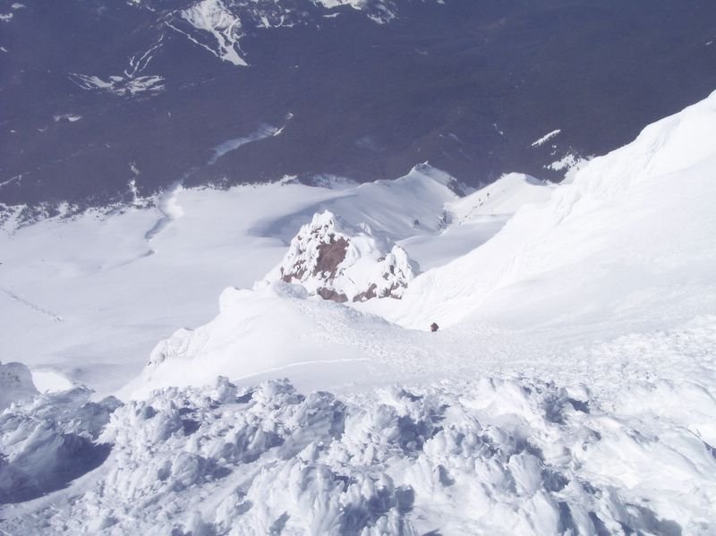
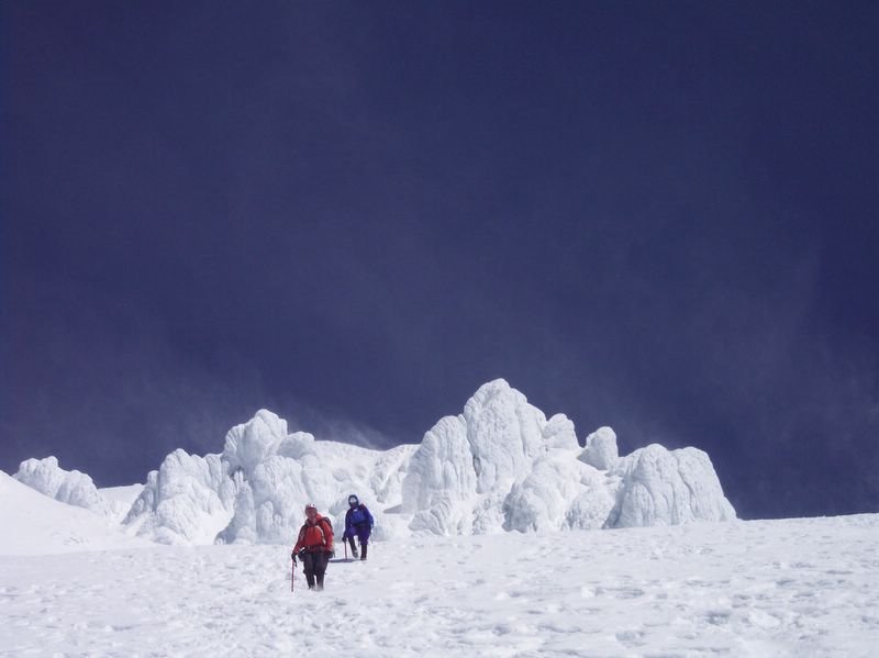
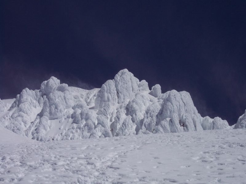
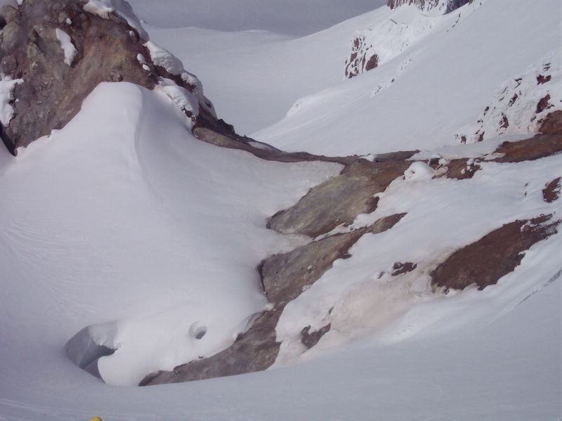
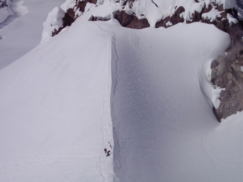
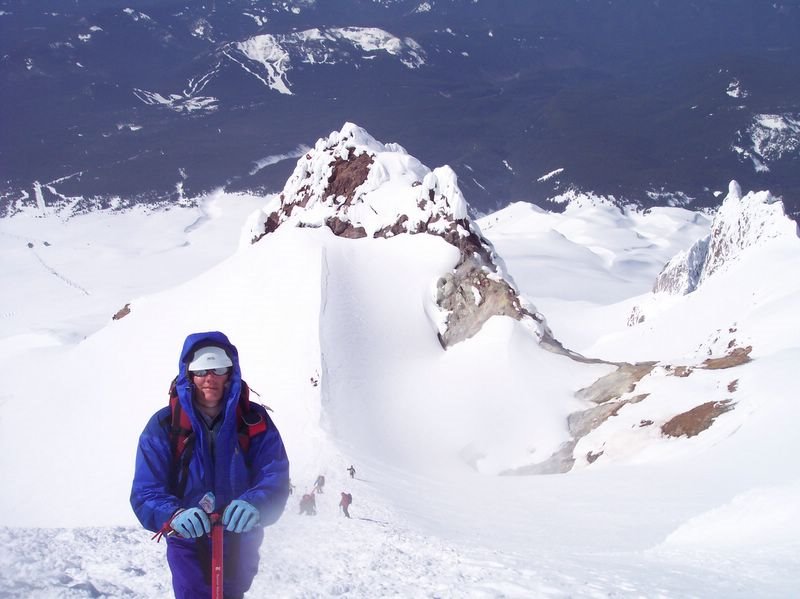
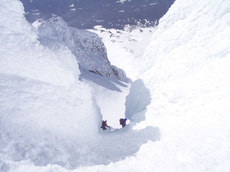
The route to the summit was mystical in a way that is unique to Mount Hood. As the pictures below attempt to relate, landmarks on Mount Hood loom large and are captivating. The pictures follow our route up the volcano, up the Palmer snow field, past Illumination Rock, further up to Crater Rock, Devil's Kitchen (and the ever present fumeroles), up the steep Hogsback ridge, through the chute left of the Pearly Gates, then finally to the volcano's summit.
Surprising to me was the intensity required just to get off of the mountain after summitting. Breaking camp became an event that occurred at warp speed, no relaxing affair, let me assure you. Under gale force winds, tents were taken down, gear hastily gathered, and backpacks stuffed, AND WE PROCEEDED WITH ALL DUE SPEED to get off the mountain. Pausing every 20 or 30 seconds to brace myself against winds that would otherwise surely blow me over, I finally made it back to the Timberline Lodge parking lot where, for the first time that day, I could finally relax. This was a very intense climb, beginning to end, and I wouldn't have it any other way.
Please see the pictures below.
Note on picture size: Click on picture for LARGER view.
The Approach To South Side of Mt Hood


High Camp (9000 ft)
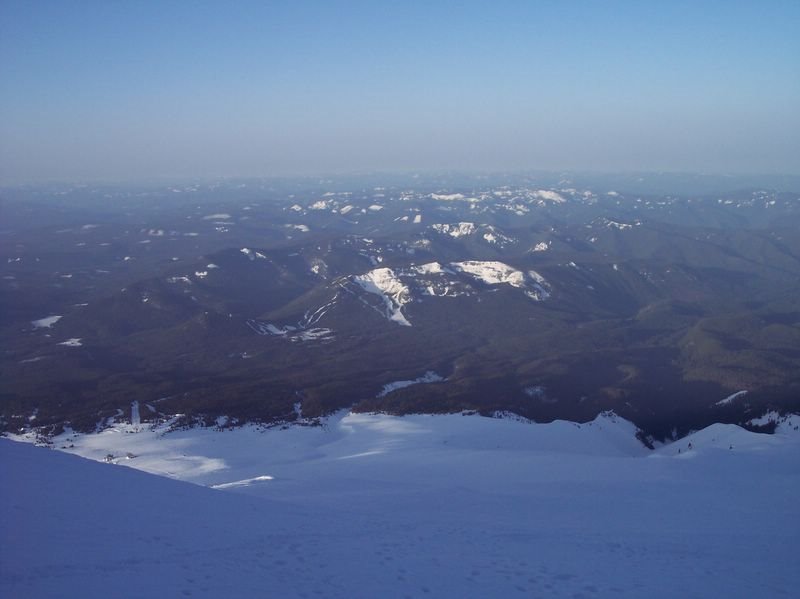
View From High Camp
Rugged Ridge Near Camp

Illumination Rock

Palmer Glacier
Summit Scape
Steel Cliffs

Fumerole At Crater Rock
Preparing To Climb Hogsback
Climbing The Hogsback
Ascending The Left Chute
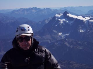
Paul Gains Summit (11,235 ft)
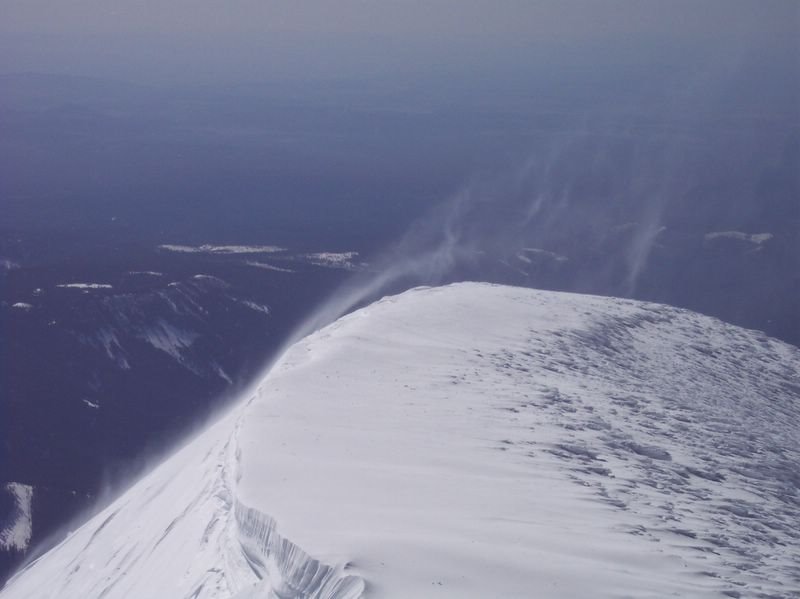
Summit Ridge Windblown Spindthrift
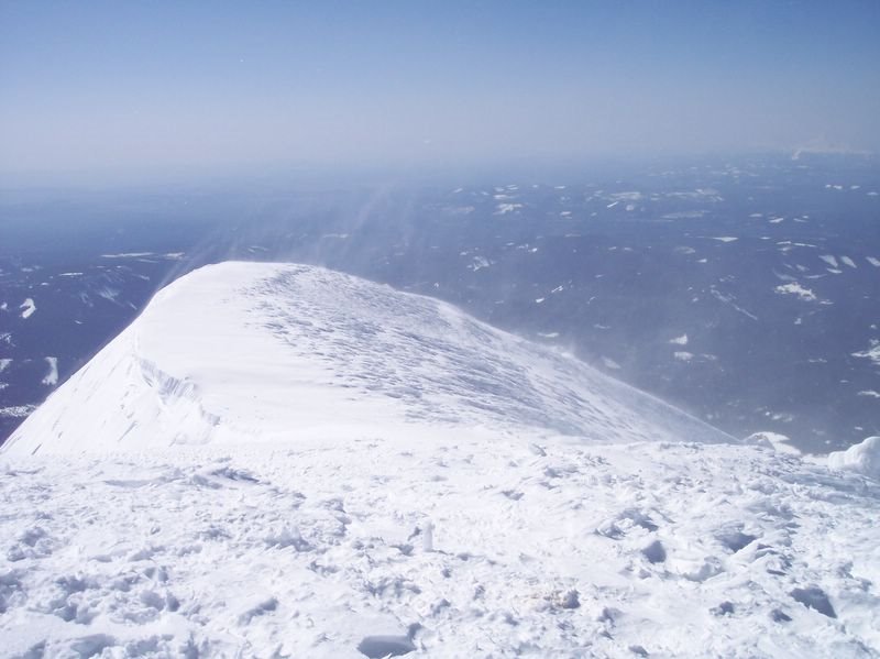
Summit Ridge Windblown Spindthrift
Descent Route View